The Meteorology, Climatology, and Geophysics Agency (BMKG) has detected a tropical cyclone seed, 96S, forming in the Indian Ocean south of West Nusa Tenggara (NTB), which may contribute to extreme weather conditions across parts of southern Indonesia. BMKG has issued advisories urging residents, local governments, and maritime operators to remain alert as the system continues to be monitored.
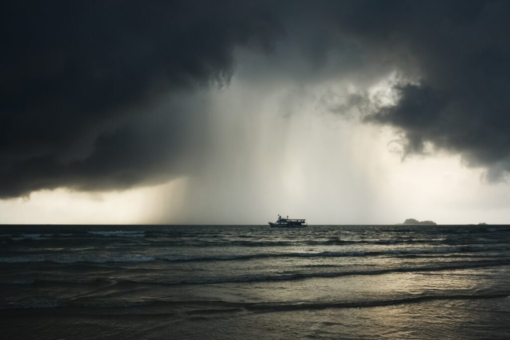
“BMKG emphasizes that coastal communities should be careful of high waves that can reach more than 2.5 meters in the southern waters of Java, Bali, NTB, and NTT,” said BMKG Deputy for Meteorology Guswanto to reporters, Saturday (27/12/2025).
Based on information published on BMKG’s official website on Friday, December 26, the tropical cyclone seed was identified in the early hours of Thursday, December 25. At the time of observation, the system recorded a maximum wind speed of 15 knots (approximately 28 kilometers per hour) and a minimum air pressure of 1003 hectopascals.
System Characteristics Based on Satellite Data
BMKG reported that recent satellite imagery shows developing convective cloud formations around the system’s circulation center. However, these clouds are still poorly organized and sporadic, particularly on the northern side of the system. This indicates that tropical cyclone seed 96S has not yet developed into a structured tropical cyclone.
BMKG stated that the system is expected to move toward the northwest to west over the next 48 to 72 hours. The agency assessed that the potential for tropical cyclone seed 96S to intensify into a tropical cyclone within the next 24 to 72 hours remains low.
Potential Weather Impacts
Despite the low likelihood of further development, BMKG warned that the presence of the system may still influence weather and sea conditions in several regions:
- Moderate to heavy rainfall in West Nusa Tenggara and East Nusa Tenggara.
- Strong winds along the southern coastal areas from Bali to East Nusa Tenggara.
- Moderate wave heights ranging from 1.25 to 2.5 meters in the southern waters of Central Java to East Java, the Indian Ocean south of Central Java to the Special Region of Yogyakarta, the southern waters from Lombok Island to Timor Island, and the Sawu Sea.
- High wave heights ranging from 2.5 to 4 meters in the southern part of the Bali Strait and the Indian Ocean south of East Java to East Nusa Tenggara.
Official Advisory
BMKG Deputy for Meteorology Guswanto advised residents in land areas to remain cautious about heavy rainfall and strong winds, which could lead to flooding, landslides, and fallen trees. He also urged fishermen and maritime transportation operators to delay activities if wave conditions become unsafe.
“The local government is increasing preparedness in areas prone to hydrometeorological disasters. So that the public continues to update weather information periodically from BMKG,” he said.
BMKG confirmed it will continue monitoring the system and advised the public to stay informed through official updates as conditions develop.